Practice using scale factors, map scales, and proportions to find distances on drawings and maps.
Read each problem carefully. Set up a proportion or use the scale factor when helpful. Show your work in the space provided.
Use scales to find real distances and drawing lengths
Math - Grade 6-8
- 1
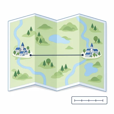
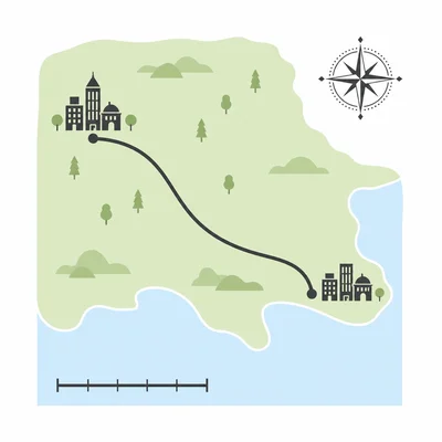
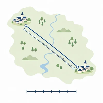
A map uses the scale 1 inch = 20 miles. The distance between two towns on the map is 3 inches. What is the actual distance between the towns?
- 2
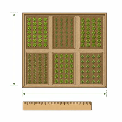
A scale drawing of a rectangular garden uses the scale 1 centimeter = 4 meters. The drawing is 6 centimeters long and 3 centimeters wide. What are the actual length and width of the garden?
- 3
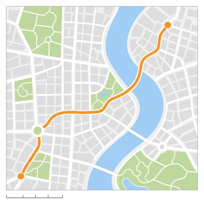
On a city map, 2 centimeters represents 5 kilometers. A road is 8 centimeters long on the map. How long is the road in real life?
- 4
A blueprint has a scale of 1 inch = 6 feet. A hallway is 4.5 inches long on the blueprint. What is the actual length of the hallway?
- 5

A model car is made using a scale of 1:24. If the model car is 7 inches long, what is the length of the real car in inches?
- 6
A map scale says 1 centimeter = 15 miles. The actual distance between two cities is 90 miles. How far apart should the cities be on the map?
- 7
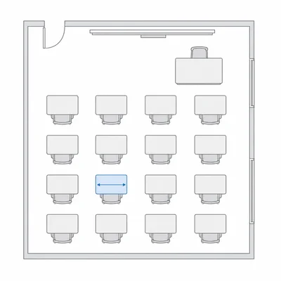
The scale drawing of a classroom uses 1 centimeter = 2 feet. A desk is 3 feet wide in real life. How wide should the desk be in the drawing?
- 8
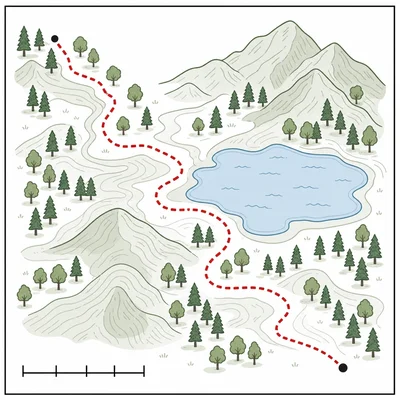
A trail map shows a hiking path that is 12 centimeters long. The map scale is 3 centimeters = 2 kilometers. What is the actual length of the hiking path?
- 9
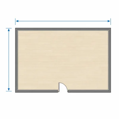
A scale drawing of a room has dimensions 8 inches by 5 inches. The scale is 1 inch = 3 feet. What is the actual area of the room in square feet?
- 10
Two towns are 42 miles apart in real life. On a map, they are 7 inches apart. What is the map scale in miles per inch?
- 11
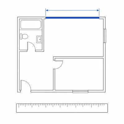
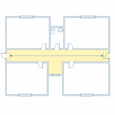
A floor plan uses the scale 1/4 inch = 1 foot. A wall is 3 inches long on the plan. What is the actual length of the wall?
- 12
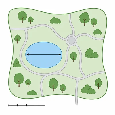
A park map has a scale bar showing that 5 centimeters represents 200 meters. A pond measures 3 centimeters across on the map. How wide is the pond in real life?