Practice identifying regions of the United States, naming states, and using basic map clues.
Read each problem carefully. Use what you know about the United States map and regions. Write your answers in complete sentences when you can.
Learning about U.S. regions, states, and map skills
Social Studies - Grade 2-3
- 1
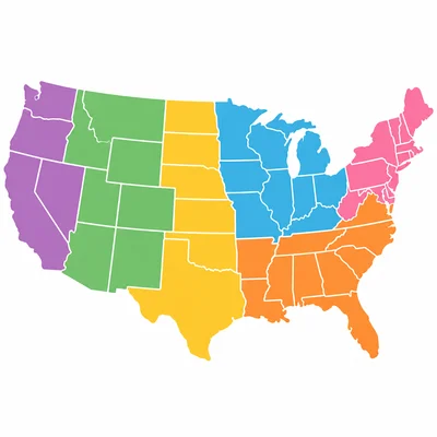
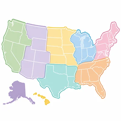
The United States is often divided into regions. Name one region of the United States.
- 2
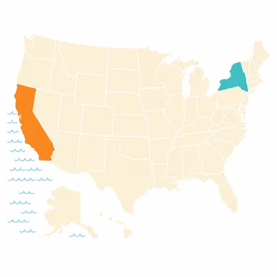
Look at a map of the United States. Which state is farther west: California or New York?
- 3
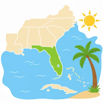
Florida is a state in the Southeast region. What is one clue that Florida is in the Southeast?
- 4
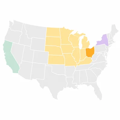
Circle the state that is part of the Midwest: Ohio, Nevada, or Maine.
- 5
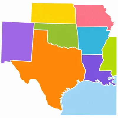
Texas is often included in the Southwest region. Name one state that borders Texas.
- 6
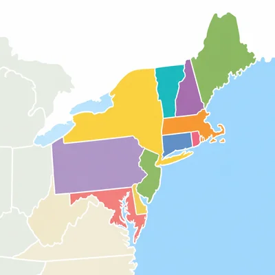
The Northeast region has many small states close together. Name one state in the Northeast.
- 7
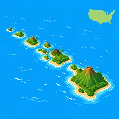
Which state is known for being made of islands and is located far out in the Pacific Ocean?
- 8
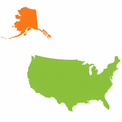
Alaska is the largest state in the United States. Is Alaska connected to the lower 48 states?
- 9
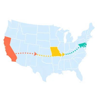
Put these places in order from west to east: California, Kansas, New York.
- 10
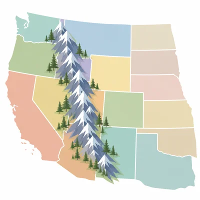
The Rocky Mountains are in the western part of the United States. Name one state in the West region.
- 11
A state capital is the city where a state government meets. What is the capital of your state?
- 12
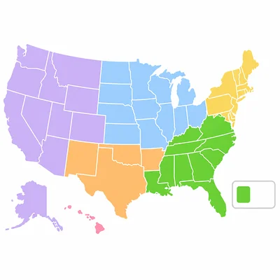
Look at a map key with colors for regions. If the Southeast is colored green, what does a green state on the map show?
- 13
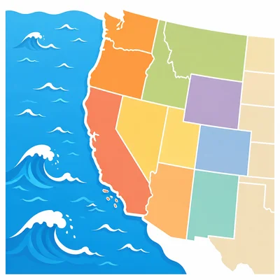
Which ocean is next to many states in the West region: the Atlantic Ocean or the Pacific Ocean?
- 14
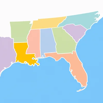
Choose the best region for Louisiana: Northeast, Southeast, or West.
- 15
Write one sentence that tells how states and regions are different.