Landforms & Map Reading Lab
Explore Earth's major landforms, learn to read a map using symbols and a key, and discover how elevation shapes the plants, animals, and climate you find at each level.
Guided ExperimentMapping Earth's Landforms
How do maps help us understand Earth's surface features? Predict how a map shows mountains, water, and flat land.
Write your hypothesis in the Lab Report panel, then click Next.
Controls
Explore Earth's surface features. Flip cards to learn landforms, read a map using symbols and a key, then discover how elevation changes from sea level to a mountain summit.
8 Major Landforms
Tap each card to flip it and reveal the definition, how it forms, and a real-world example.
Explored 0 / 8 landforms
Data Table
(3 rows)| # | Landform | Description | How It Forms | |
|---|---|---|---|---|
| 1 | ||||
| 2 | ||||
| 3 |
Reference Guide
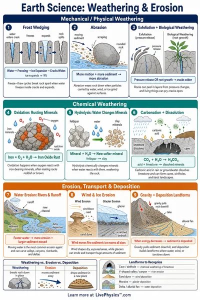
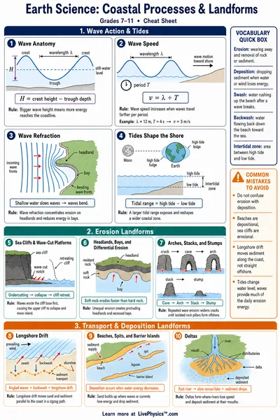
Major Landforms
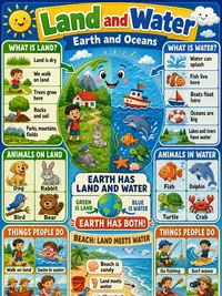
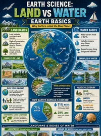
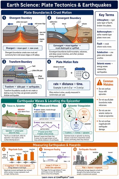
Earth's surface has many different landforms shaped by natural forces over millions of years. Tectonic plates push rock upward to form mountains and plateaus. Rivers cut through rock to carve valleys and canyons. Oceans flood low land to create islands and peninsulas.
- Mountains and plateaus are high, raised areas
- Valleys and plains are low, flat areas
- Islands and peninsulas are land surrounded or nearly surrounded by water
- Deltas and canyons are formed by moving water
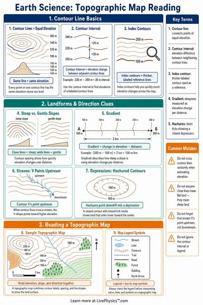
How Maps Work
A map is a flat drawing that represents a real place from above. Because maps cannot show every detail, they use symbols to stand for real features.
- Blue lines and shapes represent water (rivers, lakes, oceans)
- Triangles or shaded areas represent mountains
- Green or yellow areas represent flat land or plains
- Dots or stars represent towns and cities
Reading a Map Key
The map key (also called a legend) is a box on the map that explains what each symbol means. Without the key, you cannot fully understand the map.
Steps for reading a map
- Find the compass rose to know which direction is north
- Read the key to learn what each symbol represents
- Use the key to identify features you see on the map
- Use direction words (north, south, east, west) to describe locations
What Is Elevation?
Elevation is the height of land above sea level, measured in meters or feet. Sea level is zero. As elevation increases, the air gets thinner and colder.
Elevation affects what plants and animals can survive in a place
- Low elevations - warm, forests and farmland
- Middle elevations - cooler, dense evergreen forests
- High elevations - cold, only low shrubs and grasses
- Above the treeline - bare rock, snow, very few living things