Practice using topographic maps to interpret elevation, slope, landforms, stream flow, topographic profiles, and watershed boundaries.
Read each problem carefully. Use contour lines, elevation labels, and stream directions to support your answers. Show your work in the space provided.
Reading contour maps, drawing profiles, and identifying drainage divides
Earth Science - Grade 6-8
- 1
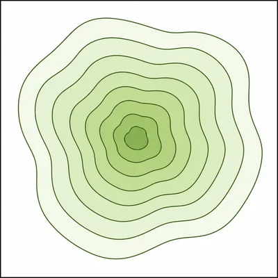
A topographic map has contour lines labeled 200 m, 220 m, 240 m, and 260 m. What is the contour interval on this map? Explain how you know.
- 2
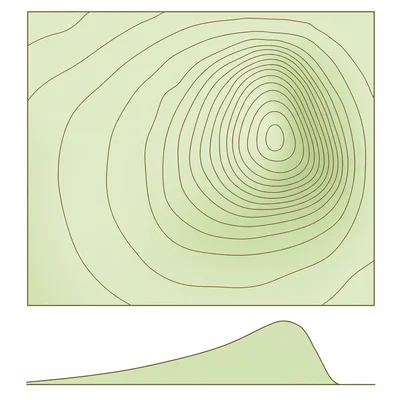
On a topographic map, contour lines are very close together on the east side of a hill and far apart on the west side. Which side has the steeper slope? Explain your answer.
- 3
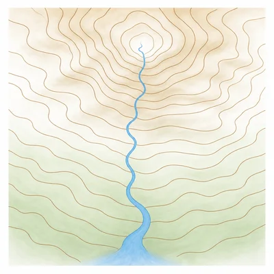
A stream crosses contour lines labeled 500 m, 480 m, 460 m, and 440 m. In which direction does the stream flow if it crosses them in that order from north to south?
- 4
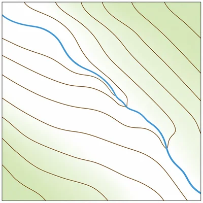
Contour lines form a series of V shapes where they cross a stream. The points of the V shapes point uphill. If the V shapes point toward the west, which direction is upstream?
- 5
Point A is on a 320 m contour line. Point B is on a 400 m contour line. If a straight trail connects A to B, what is the total elevation gain from A to B?
- 6
A map scale shows that 1 centimeter equals 0.5 kilometers. A stream is 6 centimeters long on the map. What is the stream length in kilometers?
- 7
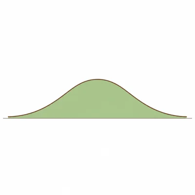
A topographic profile is drawn along a line from point A to point B across a hill. The contour elevations crossed are 100 m, 120 m, 140 m, 160 m, 140 m, 120 m, and 100 m. Describe the shape of the land along the profile.
- 8
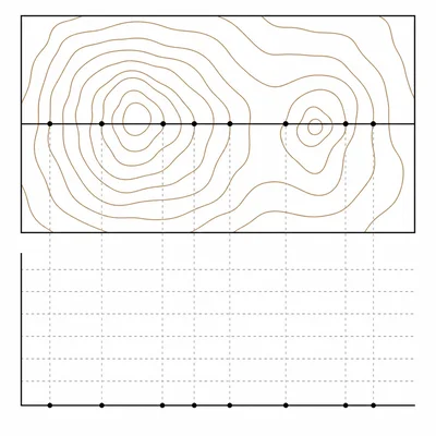
When making a topographic profile, why is it important to mark where each contour line crosses the profile line?
- 9
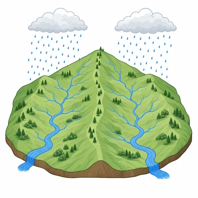
A watershed boundary separates two stream systems. What happens to rainwater that falls on opposite sides of the boundary?
- 10
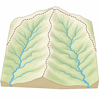
On a topographic map, watershed boundaries are usually drawn along which landforms: valley floors, stream channels, or ridges and high ground? Explain your choice.
- 11
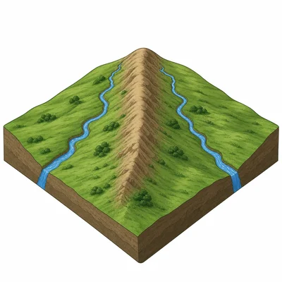
A ridge has elevations of 700 m, 720 m, and 740 m along its crest. Two streams start on opposite sides of the ridge and flow away from it. Explain why the ridge is likely a watershed boundary.
- 12
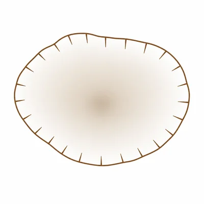
Look at a topographic map where a closed contour line has small tick marks, called hachures, pointing inward. What landform does this usually show?
- 13
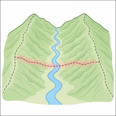
A student draws a watershed boundary across the middle of a stream channel. Explain why this is usually incorrect.
- 14
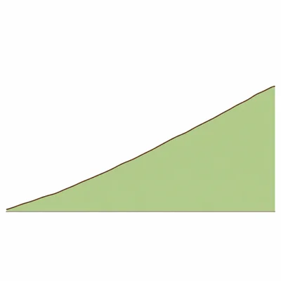
A line from X to Y crosses contour lines at these elevations: 50 m, 100 m, 150 m, 200 m, 250 m, and 300 m, with no decrease in elevation. What would the topographic profile look like?
- 15
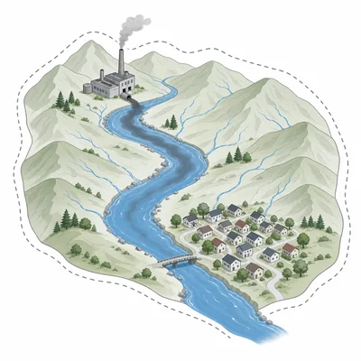
A town is located in a watershed that drains into River A. A factory is built upstream in the same watershed. Explain why pollution from the factory could affect the town's water.