Practice using latitude, longitude, hemispheres, and time zones to describe locations and compare times around the world.
Read each problem carefully. Use complete sentences when explaining your answers. Show your work in the space provided.
Using map lines to locate places and understand time differences
Social Studies - Grade 4-5
- 1

What is latitude? Describe how latitude lines are shown on a map or globe.
- 2
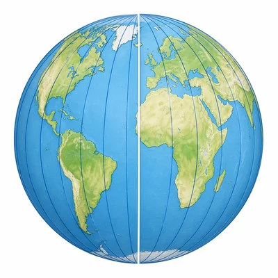
What is longitude? Describe how longitude lines are shown on a map or globe.
- 3
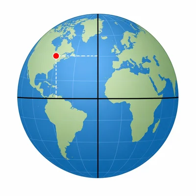
A city is located at 30 degrees north latitude and 90 degrees west longitude. Is the city north or south of the Equator? Is it east or west of the Prime Meridian?
- 4
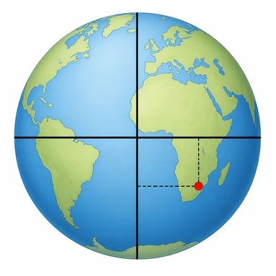
A place is located at 15 degrees south latitude and 45 degrees east longitude. Name the two hemispheres where this place is located.
- 5
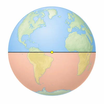
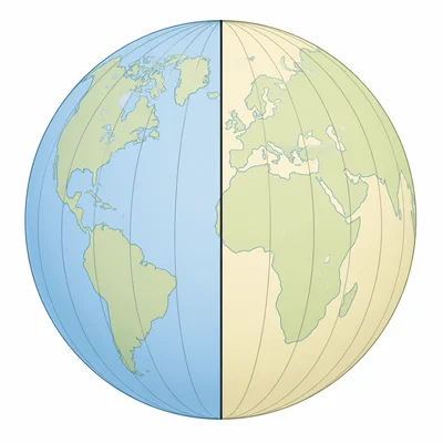
The Equator is located at 0 degrees latitude. Explain why a place on the Equator is not in the Northern Hemisphere or the Southern Hemisphere.
- 6
The Prime Meridian is located at 0 degrees longitude. Explain why it is important for finding locations.
- 7
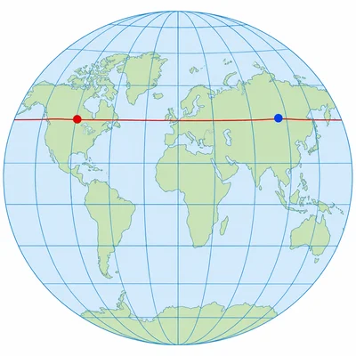
A map grid shows point A at 40 degrees north latitude and 75 degrees west longitude. Point B is at 40 degrees north latitude and 120 degrees west longitude. How are the two points alike, and how are they different?
- 8
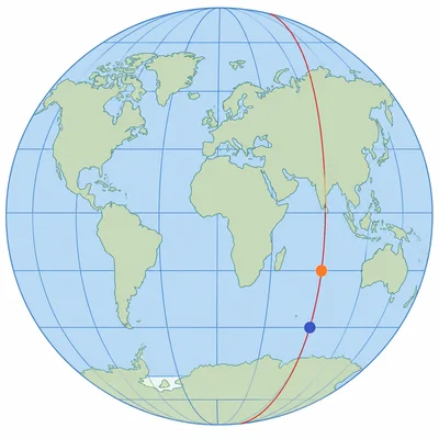
A map grid shows point C at 10 degrees south latitude and 20 degrees east longitude. Point D is at 35 degrees south latitude and 20 degrees east longitude. How are the two points alike, and how are they different?
- 9
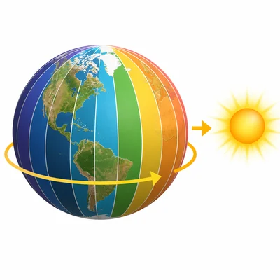
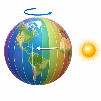
Earth is divided into time zones because it rotates. In general, places farther east have a later time than places farther west. If it is 2:00 p.m. in a city and a city to the east is 2 time zones ahead, what time is it in the eastern city?
- 10
If it is 9:00 a.m. in one city and another city to the west is 3 time zones behind, what time is it in the western city?
- 11
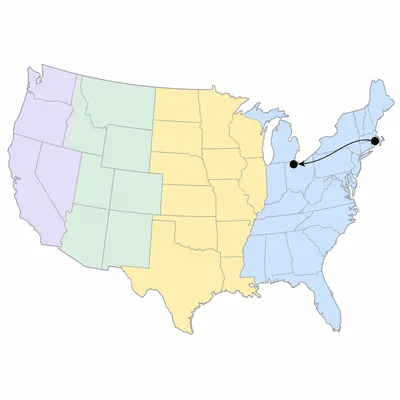
New York is in the Eastern Time Zone, and Chicago is in the Central Time Zone. Central Time is 1 hour behind Eastern Time. If it is 5:30 p.m. in New York, what time is it in Chicago?
- 12
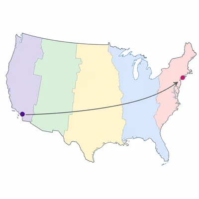
Los Angeles is in the Pacific Time Zone, and New York is in the Eastern Time Zone. Eastern Time is 3 hours ahead of Pacific Time. If it is 8:15 a.m. in Los Angeles, what time is it in New York?