Practice applying AP Human Geography concepts related to urban land use models, city zones, transportation, and spatial inequality.
Read each problem carefully. Use AP Human Geography vocabulary when possible, and explain your reasoning in complete sentences.
Analyzing city structure, models, and spatial patterns
Social Studies - Grade 9-12
- 1
Define urban land use and explain why geographers study patterns of land use within cities.
- 2
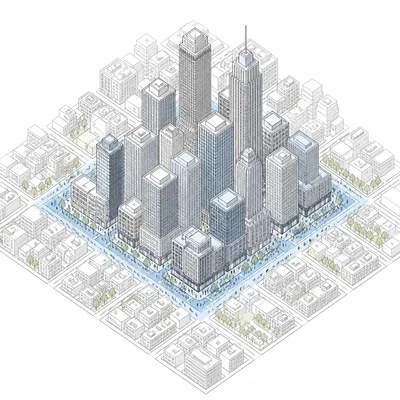
A city has a downtown area with offices, retail stores, high land values, and heavy pedestrian traffic. Identify this zone and explain its role in the city.
- 3
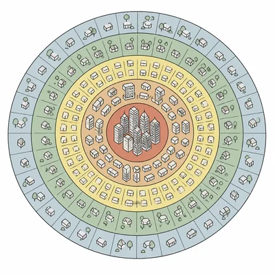
Describe the main idea of the concentric zone model and name one limitation of the model.
- 4

In the sector model, why do certain land uses extend outward in wedges or corridors rather than rings?
- 5
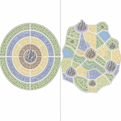
Explain how the multiple nuclei model differs from the concentric zone model.
- 6
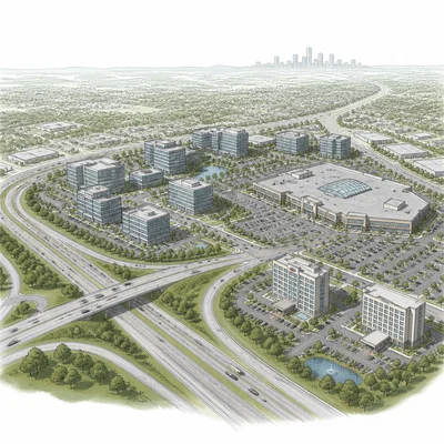
A metropolitan area has a large suburban office park, a shopping mall, hotels, and freeway access far from the traditional downtown. What term best describes this place, and why?
- 7
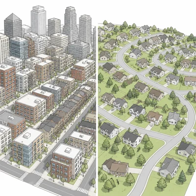
Compare residential land use near the CBD with residential land use in many outer suburbs in a North American city.
- 8
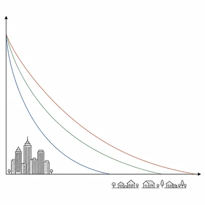
Explain how bid-rent theory helps explain land use patterns in a city.
- 9
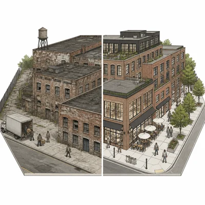
A city government converts old warehouses near downtown into luxury apartments, cafes, and art galleries. Identify the urban process and explain one possible effect on longtime residents.
- 10
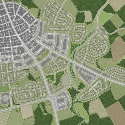
Define urban sprawl and describe one environmental consequence of it.
- 11
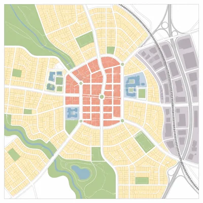
Explain how zoning laws can shape urban land use patterns.
- 12
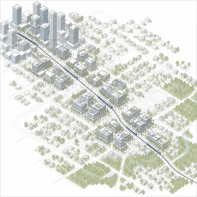
A city builds a light rail line connecting a downtown area to several dense neighborhoods with apartments, shops, and offices near stations. Identify the planning strategy and explain its goal.
- 13
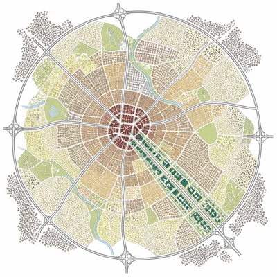
Use the Latin American city model to explain why a high-income residential area might extend outward from the CBD along a major boulevard.
- 14
Identify one way that historical segregation or redlining can still affect urban land use patterns today.
- 15
A student claims that one urban land use model can perfectly explain every city. Evaluate this claim using evidence from AP Human Geography.