Practice understanding how Asia's physical features, climates, resources, and human communities shape life across the continent.
Read each problem carefully. Use complete sentences when explaining your thinking. Show your work in the space provided.
Exploring landforms, climate, population, culture, and human-environment interaction
Social Studies - Grade 6-8
- 1
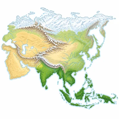
Asia is the largest continent on Earth. Name two ways its large size affects the physical geography of the continent.
- 2
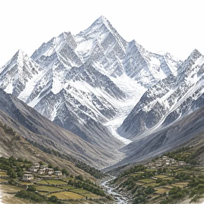
Identify the Himalaya Mountains and explain one way they affect human settlement in Asia.
- 3
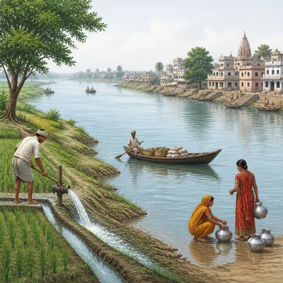
The Ganges River is important to millions of people in South Asia. Describe two ways people use or depend on the river.
- 4
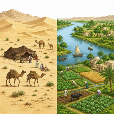
Compare a desert region such as the Gobi Desert with a river valley such as the Yangtze River valley. How are human activities likely different in these two places?
- 5
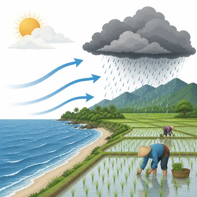
Monsoons strongly affect South and Southeast Asia. Explain what a monsoon is and why it matters to farmers.
- 6
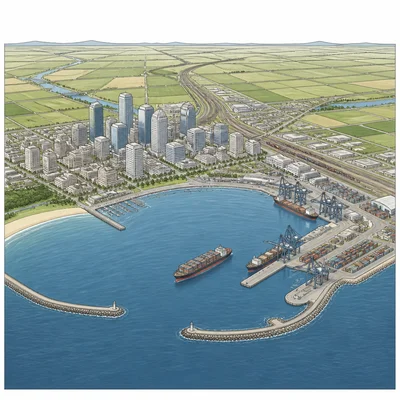
A city is located on a coastal plain with access to a deep harbor. Explain why this location might help the city grow.
- 7
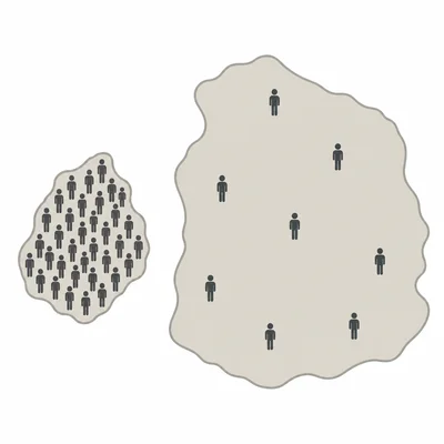
Look at the following population data: Country A has 150 million people and 500,000 square kilometers. Country B has 40 million people and 2,000,000 square kilometers. Which country has the higher population density? Show your reasoning.
- 8
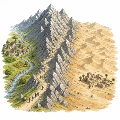
Explain how mountain ranges and deserts can act as physical barriers between human communities.
- 9
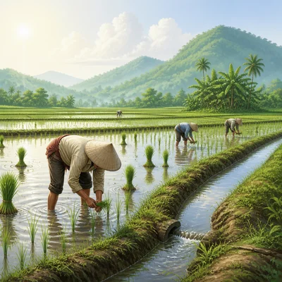
Rice farming is common in many parts of East, South, and Southeast Asia. Identify two physical conditions that help rice grow well.
- 10
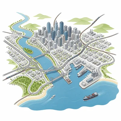
Asia has several of the world's largest cities, including Tokyo, Delhi, Shanghai, and Jakarta. Give two reasons why large cities often grow near rivers, coasts, or transportation routes.
- 11
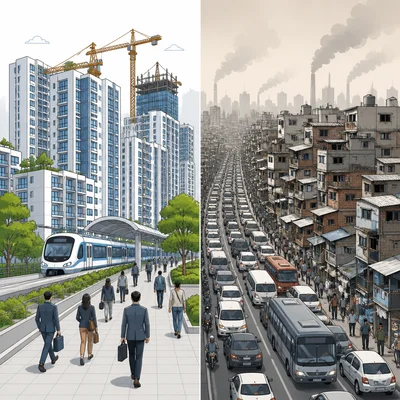
Describe one positive effect and one negative effect of rapid urbanization in Asia.
- 12
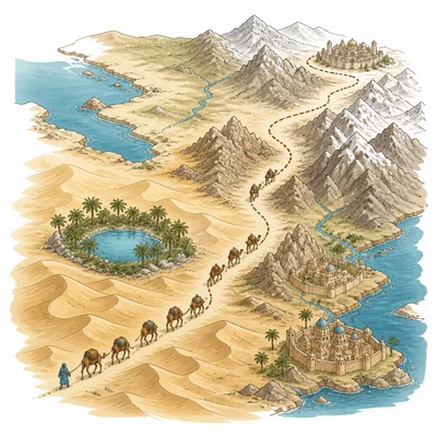
The Silk Road connected parts of East Asia, Central Asia, Southwest Asia, and Europe. Explain how geography influenced this trade network.
- 13
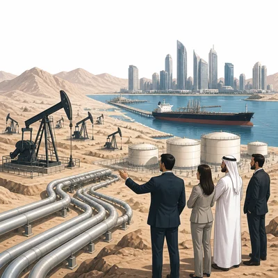
Southwest Asia has major oil and natural gas resources. Explain how these resources can affect the economies and politics of the region.
- 14
Choose one Asian region, such as East Asia, South Asia, Southeast Asia, Central Asia, or Southwest Asia. Describe one physical feature and one human feature of that region.
- 15
Explain how physical geography can influence culture in Asia. Use at least one specific example in your answer.