Practice reading topographic maps by interpreting contour lines, elevation, slope, landforms, and map symbols.
Read each problem carefully. Use contour line patterns, elevation labels, and map symbols to support your answers. Show your work in the space provided.
Using elevation, contour lines, and map symbols to understand landforms
Social Studies - Grade 6-8
- 1
A topographic map has contour lines labeled 100 meters, 120 meters, 140 meters, and 160 meters. What is the contour interval, and what does it tell you?
- 2
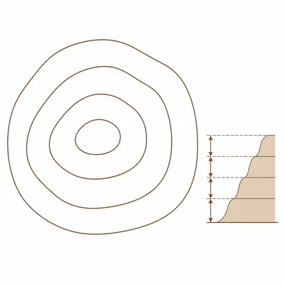
On a topographic map, contour lines are very close together on the west side of a hill and far apart on the east side. Which side of the hill is steeper, and how do you know?
- 3
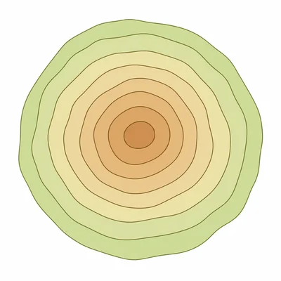
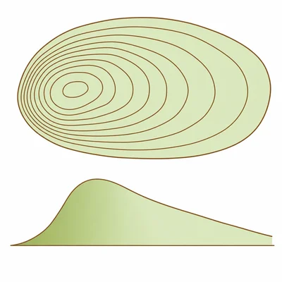
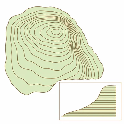
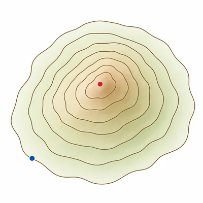
A map shows several closed contour lines shaped like circles. The innermost circle is labeled 520 meters, and the surrounding circles are labeled 500 meters, 480 meters, and 460 meters. What landform is shown?
- 4
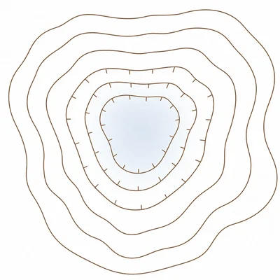
A topographic map shows closed contour lines with small tick marks, called hachures, pointing inward. What type of landform do these lines usually represent?
- 5
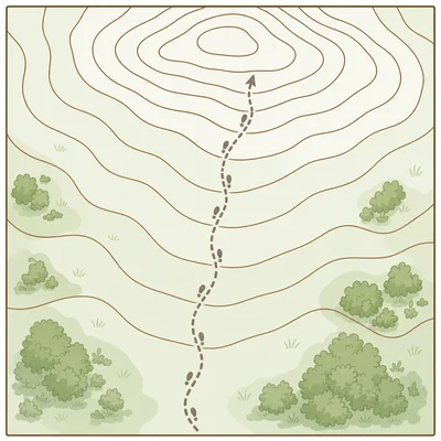
A hiking trail crosses contour lines labeled 200 meters, 220 meters, 240 meters, and 260 meters as it moves north. Is the hiker traveling uphill or downhill? Explain your answer.
- 6
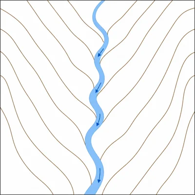
A river is shown crossing contour lines on a topographic map. The contour lines form V shapes that point upstream. If the V shapes point toward the north, which direction is the river most likely flowing?
- 7
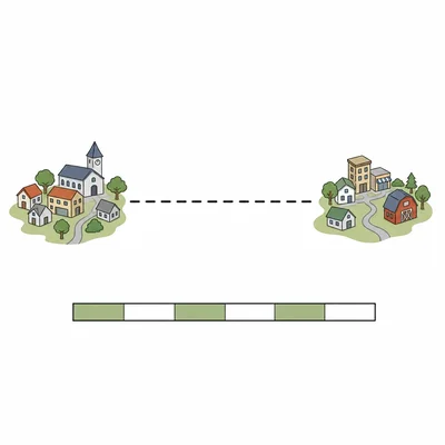
A map scale says 1 centimeter equals 0.5 kilometers. Two towns are 6 centimeters apart on the map. What is the real-world distance between the towns?
- 8
A student says, "Contour lines can cross each other if the mountain is very steep." Is the student correct? Explain.
- 9
On a topographic map, Point A is on a contour line labeled 300 meters. Point B is on a contour line labeled 420 meters. Which point is higher in elevation, and by how much?
- 10
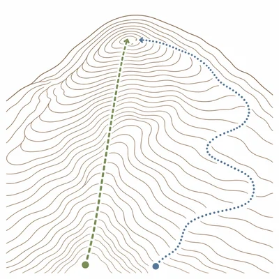
A community planner is choosing a route for a new walking path. Route 1 crosses many closely spaced contour lines. Route 2 follows around the hillside and crosses only a few widely spaced contour lines. Which route would likely be easier for most walkers, and why?