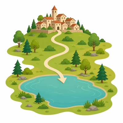
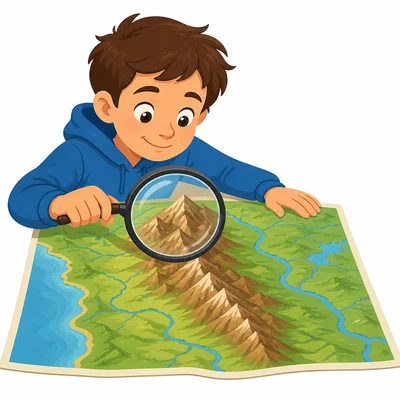
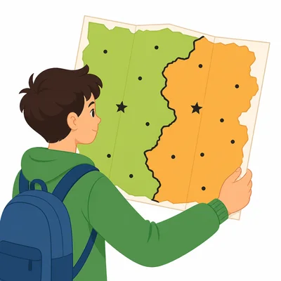
Practice reading physical and political maps and identifying common map features such as symbols, labels, borders, landforms, and bodies of water.
Read each problem carefully. Use the map clues to answer in complete sentences when needed.
Learning how maps show land, water, cities, and borders
Social Studies - Grade 2-3
- 1
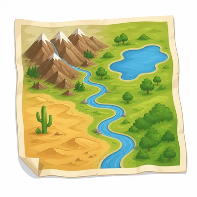
A map shows mountains, rivers, lakes, and deserts. Is this mostly a physical map or a political map?
- 2
A map shows states, countries, capital cities, and borders. Is this mostly a physical map or a political map?
- 3
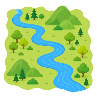
Look at a map with a blue line labeled River Bend. What does the blue line most likely show?
- 4
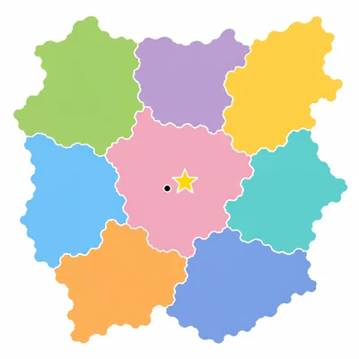
On a political map, a star symbol is placed next to the city name Pine City. What does the star most likely mean?
- 5
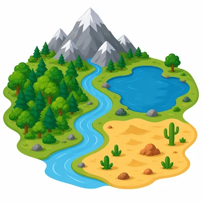
Name one natural feature that might be shown on a physical map.
- 6
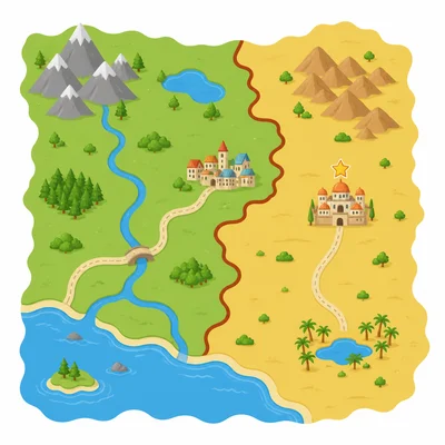
Name one human-made or human-named feature that might be shown on a political map.
- 7
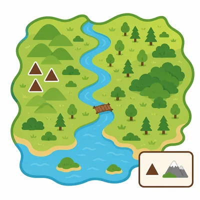
A map key shows that a triangle means mountain. On the map, three triangles are near the west side. What does this tell you?
- 8
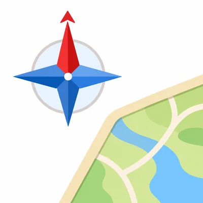
A map has a compass rose with N, S, E, and W. What direction does N stand for?
- 9
On a map, Lake Green is south of Hill Town. In which direction would you travel from Hill Town to reach Lake Green?
- 10
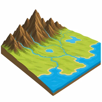
A physical map uses dark brown to show tall mountains and light green to show low land. Which color shows the taller land?
- 11
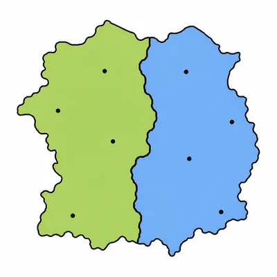
A political map has a thick black line between two states. What does the thick black line most likely show?
- 12
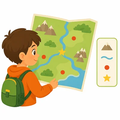
Why would a traveler use a map key?
- 13
A student wants to find the Rocky Mountains on a map. Should the student use a physical map or a political map? Explain your answer.
- 14
A student wants to find the border between Canada and the United States. Should the student use a physical map or a political map? Explain your answer.
- 15
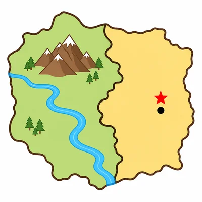
Look at a simple map with a river, a mountain, a state border, and a capital city. Write one feature that belongs on a physical map and one feature that belongs on a political map.