Practice learning about the Northeast and Southeast regions of the United States, including states, climate, landforms, and important places.
Read each problem carefully. Use what you know about maps and regions. Write your answers in complete sentences when needed.
Identifying states, places, landforms, and regional features
Social Studies - Grade 2-3
- 1
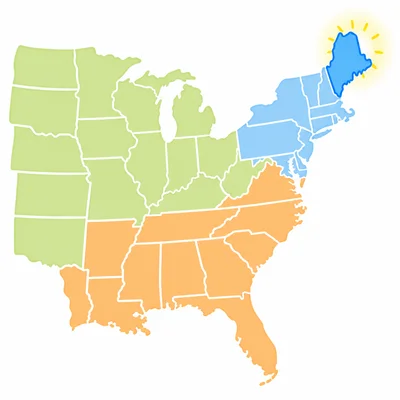
Look at a map of the United States. Is Maine in the Northeast region or the Southeast region?
- 2
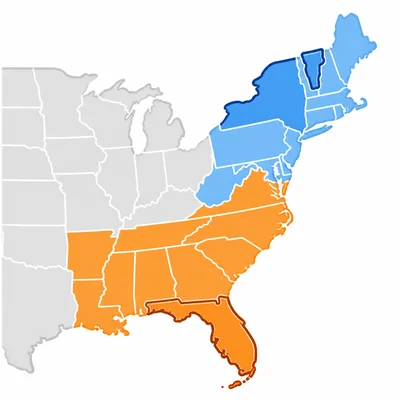
Circle the state that is in the Southeast region: Florida, Vermont, or New York.
- 3
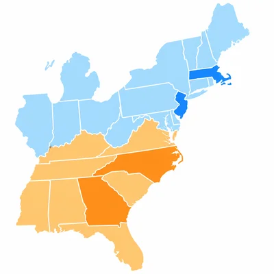
Write N for Northeast or S for Southeast next to each state: Georgia, Massachusetts, North Carolina, New Jersey.
- 4
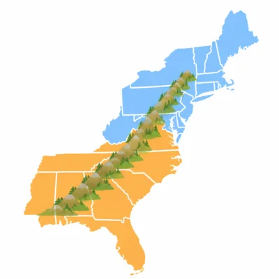
The Appalachian Mountains stretch through parts of both the Northeast and Southeast. Name one region where you can find part of these mountains.
- 5
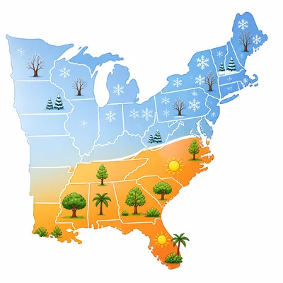
Which region usually has warmer winters, the Northeast or the Southeast?
- 6
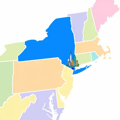
New York City is a large city in New York. Is New York City in the Northeast region or the Southeast region?
- 7
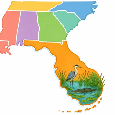
The Everglades are wetlands in Florida. Which region are the Everglades in?
- 8
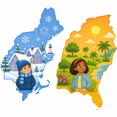
Compare the Northeast and Southeast. Which region is more likely to have snowy winters?
- 9
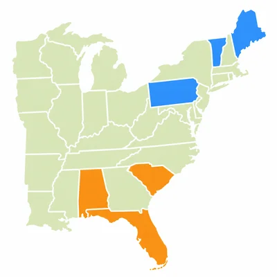
Look at the two lists. List A has Maine, Vermont, and Pennsylvania. List B has Alabama, South Carolina, and Florida. Which list shows Northeast states?
- 10
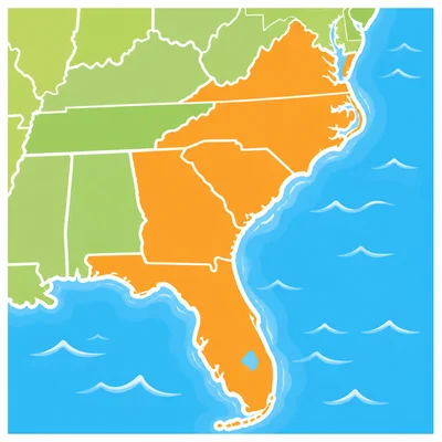
The Atlantic Ocean borders many states in the Northeast and Southeast. Name one Southeast state that touches the Atlantic Ocean.
- 11
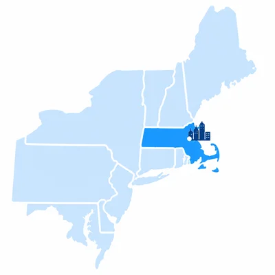
Boston is an important city in Massachusetts. Which region is Massachusetts in?
- 12

The Southeast has many beaches, swamps, and warm coastal areas. Name one kind of land or water feature you might find in the Southeast.
- 13
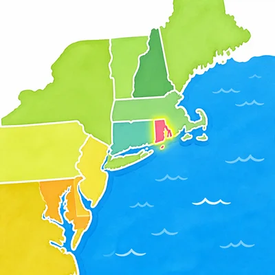
Choose the best answer. Rhode Island is a small state in the Northeast. It is near the Atlantic Ocean, the Pacific Ocean, or the Arctic Ocean?
- 14
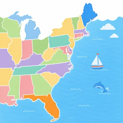
A student says, "Florida and Maine are in the same region because they are both on the East Coast." Is the student correct? Explain.
- 15
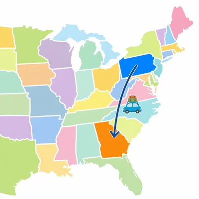
Plan a pretend trip from Pennsylvania to Georgia. Are you traveling from the Northeast to the Southeast, from the Southeast to the Northeast, or staying in one region?