Understanding Gravity Around the World
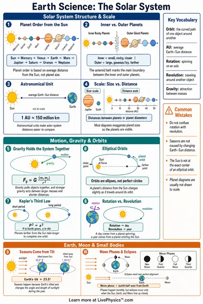
Gravitational acceleration is the rate at which an unsupported object gains downward speed. Near Earth’s surface, it is close to ten metres per second every second, but this value is an average rather than a universal constant. The pull comes from all of Earth’s mass.
Rock, ocean water, ice, and the dense metal deep inside the planet each contribute a tiny amount. Their arrangement matters because gravity is stronger when more mass lies nearby.
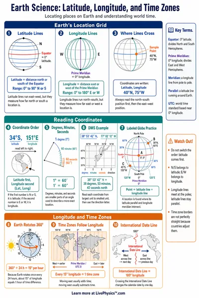
The Earth is not a perfect sphere, so points on its surface do not all sit the same distance from the centre. A person near the equator is farther from the centre than a person near a pole. Earth’s daily spin changes the measured effect too.
Rotation requires a small inward acceleration, and the apparent outward effect reduces the support force felt by objects most strongly at the equator. A spring scale therefore gives a slightly lower reading there for the same person.
Height changes gravity for a clear physical reason. As distance from Earth’s centre increases, the same mass is spread over a larger imaginary sphere, so its pull weakens. The change during a climb up a hill is small, while satellites experience a much larger reduction.
Local underground structure can create smaller departures from a location model. Mountain ranges, thick ice sheets, ocean trenches, and unusually dense rocks can shift measurements by amounts that sensitive instruments can detect.
Mass measures how much matter an object contains, and it stays essentially unchanged when the object travels. Weight is the force produced when gravity acts on that mass. In words, weight equals mass times gravitational acceleration.
Bathroom scales often report mass units, although they actually sense the contact force between you and the scale. Their conversion assumes a reference gravity value, which is why a precise scientific measurement must state the location and the calibration used.
These differences matter beyond classroom calculations. Surveyors use gravity data to help define heights, because sea level follows an uneven gravity shaped surface called the geoid. Engineers account for local gravity when calibrating balances, accelerometers, and laboratory equipment.
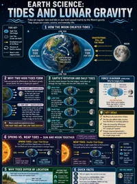
Students should keep track of the difference between a measured value and a standard model. A model uses latitude and elevation to give a dependable estimate, while a direct observation can include local geology, weather effects, tides from the Moon and Sun, plus instrument uncertainty. Comparisons with other worlds should use the same distinction between mass and weight.