Understanding Hurricane Path & Storm Surge Simulator
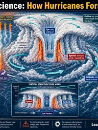
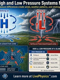
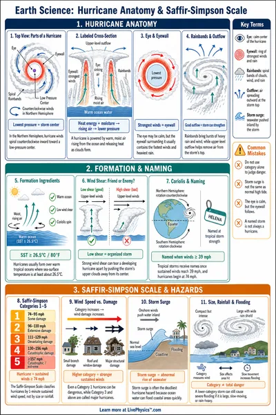
A hurricane works as a heat engine. Evaporating water carries energy upward from the ocean, and that water releases heat when it condenses into clouds high in the storm. The added heat makes air rise faster, which lowers pressure near the surface.
Air then rushes inward toward the low pressure and is turned by Earth’s rotation, creating the curved circulation. A stronger pressure difference usually produces stronger winds, but the storm needs an organized center to use that energy efficiently.
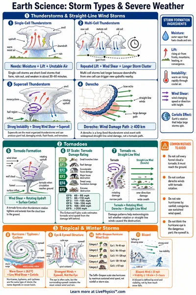
The calm eye is surrounded by the eyewall, where the fastest winds and heaviest rain often occur. Rising air in this ring can form towering thunderstorms that continually replace older storms cells. Wind shear can tilt this structure by pushing the upper part of the storm away from the lower circulation.
Once the center is tilted, warm moist air cannot rise in the same organized pattern, so the pressure may stop falling or begin to rise. Some hurricanes temporarily weaken when their eyewall changes shape, even over favorable water.
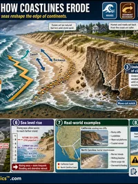
Storm surge is not simply a large wave. Persistent winds push a broad mass of ocean water toward land, while low air pressure lets the sea surface rise somewhat beneath the storm. The shape of the coast controls where that water accumulates.
A shallow, gently sloping seabed gives water less space to spread downward, so it can be forced farther inland. High tide, large breaking waves, and rainfall can make coastal flooding worse, even when the reported surge height seems modest.
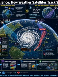
A hurricane’s forward speed changes which hazards dominate. A slow moving storm can keep rain over one area for many hours, causing river and street flooding far from the coast. A faster storm may spend less time dropping rain, yet its winds can pile water up strongly where its motion adds to the rotating wind on one side.
In the Northern Hemisphere, that dangerous side is often to the right of the storm’s track. Students should treat category as a wind label, not a complete measure of danger, because water, rain, terrain, and local timing determine the real impact.